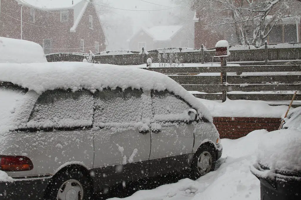
Forecasters have issued a winter storm watch for the entire Tri-State area in advance of a system that could produce heavy snow over the region. The watch is in effect from 6 p.m. Monday until 6 a.m. Wednesday for Clayton, Delaware, Dubuque, Jackson and Jones counties in Iowa, Grant County in Wisconsin and Jo Daviess County in Illinois. According to the National Weather Service, moderate to heavy snow could spread over the area from the south Monday evening and move west to east before exiting the area late Tuesday. Snow accumulations of 6 to 12 inches are possible. Winds gusting as high as 40 mph on Tuesday into Wednesday morning could lead to blowing and drifting snow. The storm could cause difficult travel conditions that impact the evening commute on Monday, and the commutes throughout Tuesday into Wednesday morning.
Here Comes A Big Snowstorm
Jan 8, 2024 | 3:07 PM
Latest Posts


Overnight storm damage in SW Wisconsin
Jun 18, 2026

Obituaries for Wednesday, June 17, 2026
Jun 17, 2026

AG Kaul joins lawsuit to protect voter rolls
Jun 17, 2026
Podcasts
Karl Klopotic's Final Forecast on WGLR 10-13-23
Oct 13, 2023
WGLR "Riders In The Sky" Interview With Ranger Doug
Oct 14, 2022
WBA Award for Excellence - Best Interview
Apr 26, 2022


On Air Now
The More Music Midday Buffet
10:00 AM - 3:00 PM